How does this virtual walk thing work, then?
OK…
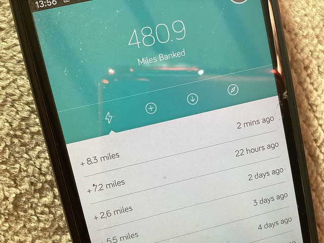
I’ve been asked this a few times. The answer is that it’s really very simple – but I admit I enjoy over-complicating things by adding extra bits and pieces, and I’ve probably done that here. Sorry. Anyway, first I go for a walk, having turned on the GPS tracking app on my phone. While en route it tracks my course. When I get back I press ‘finish’ and it tells me how far I walked. Yesterday it was 8.3 miles.
Then I go to Google Maps and plot that distance from my last stopping point using the ‘directions’ facility –
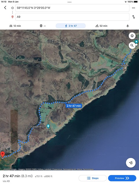
…then I save that point on the map and it becomes my new location. In this way I plot a course showing my position at the end of every day.
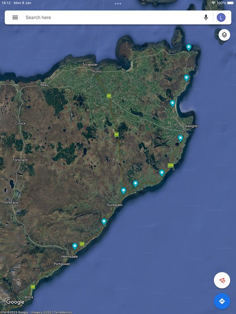
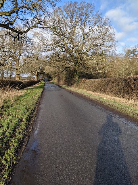
And for fun I can look at the places I have virtually been. For example, today I was virtually here…
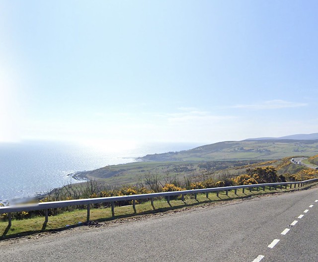
…whereas in reality I was here.
Leave a Reply